 Image 1 of 1
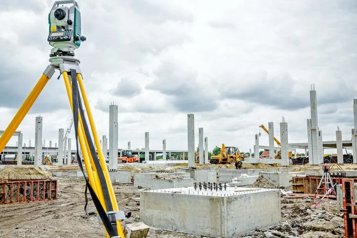
Translating construction plans into physical points on the ground, used as a basis for the actual construction by providing the horizontal location of new improvements and the vertical heights, to ensure that surface will drain, or pipes will flow as required.
Setting out for construction of a structure and survey pick-ups, examining a finished design for a project, and providing Geo-spatial information for construction projects.
Setting out roads
S/O Sewer pipes
S/O Water pipelines
S/O Electric poles
Optical fiber cable routes